Hunting apps, interesting feature

backyardtndeer

Well-Known Member
Joined
Jul 29, 2015
Messages
21,351
Location
West Tennessee
With the talk of apps for mapping and hunting coming up a couple times recently, I downloaded and looked around the free versions of basemap and huntstand. Downloaded onx, but never created an account, and ended up just deleting it.
Said I wouldn't ever use huntstand again, but figured I would look around their free version. Anyway, got to looking around huntstand last night and noticed a crops history feature. I checked it out, and I don't know how exactly they get their data, but they had my small soybean plantings right for the years I planted them where I had planted them.

So, how are they getting that data? Pretty cool feature, I may just go on and pay for the $20.99 holiday special with them.
 

Tenntrapper

Well-Known Member
Joined
Aug 29, 2016
Messages
9,309
With the talk of apps for mapping and hunting coming up a couple times recently, I downloaded and looked around the free versions of basemap and huntstand. Downloaded onx, but never created an account, and ended up just deleting it.
Said I wouldn't ever use huntstand again, but figured I would look around their free version. Anyway, got to looking around huntstand last night and noticed a crops history feature. I checked it out, and I don't know how exactly they get their data, but they had my small soybean plantings right for the years I planted them where I had planted them.

So, how are they getting that data? Pretty cool feature, I may just go on and pay for the $20.99 holiday special with them.
It's them black helicopters flying around. They were looking for your dope field... 😂
When they just found soybeans...they entered it into "the system". They are patterning you... 😂

Honestly, I got no idea...but that's pretty cool.
 

Antler Daddy

Well-Known Member
Joined
Jun 4, 2020
Messages
4,088
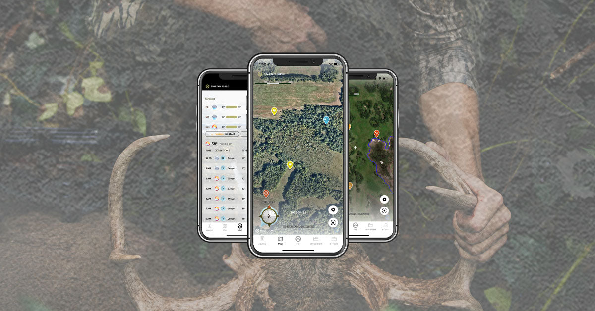
Spartan forge is going to have Lidar maps. I reckon I will give it a try after watching a podcast on it.

 
Last edited:

killingtime 41

Well-Known Member
Joined
Jan 30, 2022
Messages
1,151
Location
greene county
With the talk of apps for mapping and hunting coming up a couple times recently, I downloaded and looked around the free versions of basemap and huntstand. Downloaded onx, but never created an account, and ended up just deleting it.
Said I wouldn't ever use huntstand again, but figured I would look around their free version. Anyway, got to looking around huntstand last night and noticed a crops history feature. I checked it out, and I don't know how exactly they get their data, but they had my small soybean plantings right for the years I planted them where I had planted them.

So, how are they getting that data? Pretty cool feature, I may just go on and pay for the $20.99 holiday special with them.
I've been using HuntStand for years and if a deal is going in at that price I wouldn't hesitate cause I pay 40 bucks.
 

Latest posts

Top