megalomaniac
Well-Known Member
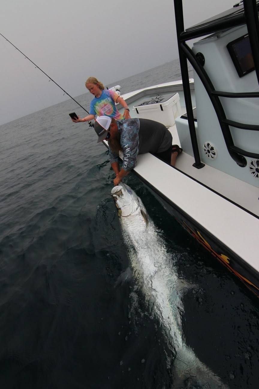
Everybody knows how to potlick the forums on the internet to find spots that others have caught fish.... but just because someone else caught fish there last week doesn't mean diddly they will be there the following week, and potlickers never learn how to find fish on their own when they rely on sniping spots off the internet....
My post about MODIS image of the day on another thread got me thinking... what other internet tools do you use to make for a successful fishing trip?
For the type of fishing I do in the marsh, in addition to MODIS, NOAA weather station data for the area for tides, temp, salinity is crazy important.... but one of the most important tools I've used is Google earth timeline... with that, I can go back in time with satellite imagery to see how water flows, which bayous are generally cleaner when water is dirty out front, and most importantly, find small side drains which have depth vs those that are so shallow they are pure mud if the image was taken at an extreme low tide. Free navionics has been a little helpful as well for some of the bayous close to the gulf (but worthless back on the marsh... no real accurate depth numbers)
Having never fished the marshes I have been fishing prior to July of this past year, I've been able to identify dozens of spots off the internet using the above tools to check with 'boots on the ground' on subsequent trips. Every single trip I make, I always check at least 2 other spots I've saved on my phone as places to check based on internet scouting.